

In a forward-looking decision, the Sindh government has announced its plan to adopt satellite imagery technology for crop reporting beginning with wheat production assessments across the province. This initiative aims to bring precision, transparency, and real-time accuracy to agricultural planning and food security monitoring.
High-Level Directive Driven by Urgency
During a high-level wheat policy review meeting led by the Chief Secretary of Sindh, officials emphasized the need to strengthen the monitoring of crop cycles. With wheat stocks and pricing under pressure, officials decided that satellite imagery tools would vastly improve the accuracy of yield estimation and area coverage reporting, enabling data-informed decision-making.
The province currently holds over 1.39 million metric tons of wheat in government reserves, while an additional 2.2 million metric tons remain in the private sector and flour mills. Traditional reporting methods have struggled to reliably reconcile these volumes with actual farm-level crop yields.
Role of Satellite-Based Crop Monitoring
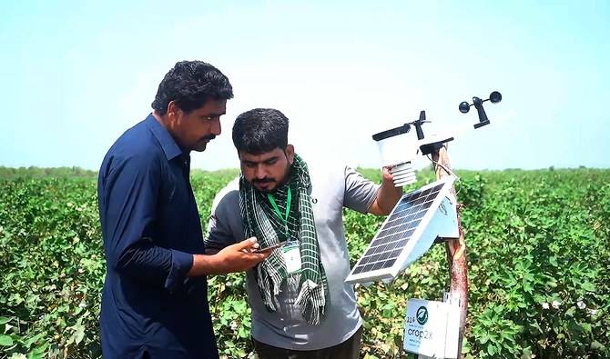
By pairing satellite data with ground-truthing, the province will be able to:
- Monitor vegetation health and crop growth stages through indices like NDVI
- Assess planted acreage and forecast yields before harvest
- Detect anomalies such as crop stress, water stress, or pest damage
- Generate interactive maps and real-time dashboards for policymakers
These capabilities align with global best practices, where geospatial tools support precise crop management and policy planning.
Building on Established Infrastructure
Sindh’s adoption of remote sensing follows earlier efforts, including the establishment of Pakistan’s first satellite-based crop monitoring lab in 2014, jointly run by SUPARCO and FAO in partnership with provincial Crop Reporting Services. The lab began issuing monthly bulletins based on satellite analytics and field data, covering major crops like wheat, sugarcane, rice, and cotton across multiple districts.
This new directive builds on that foundational infrastructure and accelerates implementation at scale.
Benefits to Farmers and Food Systems
- Timely Forecasts: Real-time crop condition monitoring helps the government anticipate harvest sizes and plan food reserves accordingly.
- Data-Driven Policy: Evidence-based insights enable targeted support such as seed distribution, fertilizer allocation, and irrigation planning.
- Transparency & Accountability: Visual crop maps and satellite imagery reduce information asymmetry between officials, farmers, and traders.
- Climate Resilience: Monitoring tools also detect water stress and climate-induced damage, informing quicker adaptive responses.
Impact on Food Security and Market Stability
This approach will enable Sindh to issue regular and reliable crop reports, enhancing coordination between agricultural planners, food security agencies, and market regulators. Better forecasting reduces the risk of market speculation, price fluctuations, and post-harvest food shortages.
By grounding decisions in high-resolution imagery and field intelligence, the province is strengthening its ability to safeguard livelihoods and ensure sustainable grain availability.
Next Steps for Implementation
- Scale up satellite-data collection and analytics across all major crop zones.
- Equip district agriculture offices with GIS tools and mobile apps for local field verification.
- Train personnel in geo-spatial analysis and interpretation techniques.
- Integrate satellite data dashboards with food stock tracking systems for unified reporting.
- Publish periodic bulletins detailing acreage, yield projections, and production trends for farmers and policymakers alike.
Conclusion
By embracing satellite-based crop monitoring, Sindh is pioneering a modern, science-driven approach to agriculture management in Pakistan. This shift marks a strategic move towards precision farming, food security, and agricultural transparency. With data-backed oversight and predictive forecasting, Sindh aims to lead the way in building a more resilient and productive food system.
Comments (0)
No comments yet. Be the first to comment!
Leave a Comment